Stay updated with Soil & Water news and events. We will send you monthly electronic newsletters about programs, workshops and conservation news.
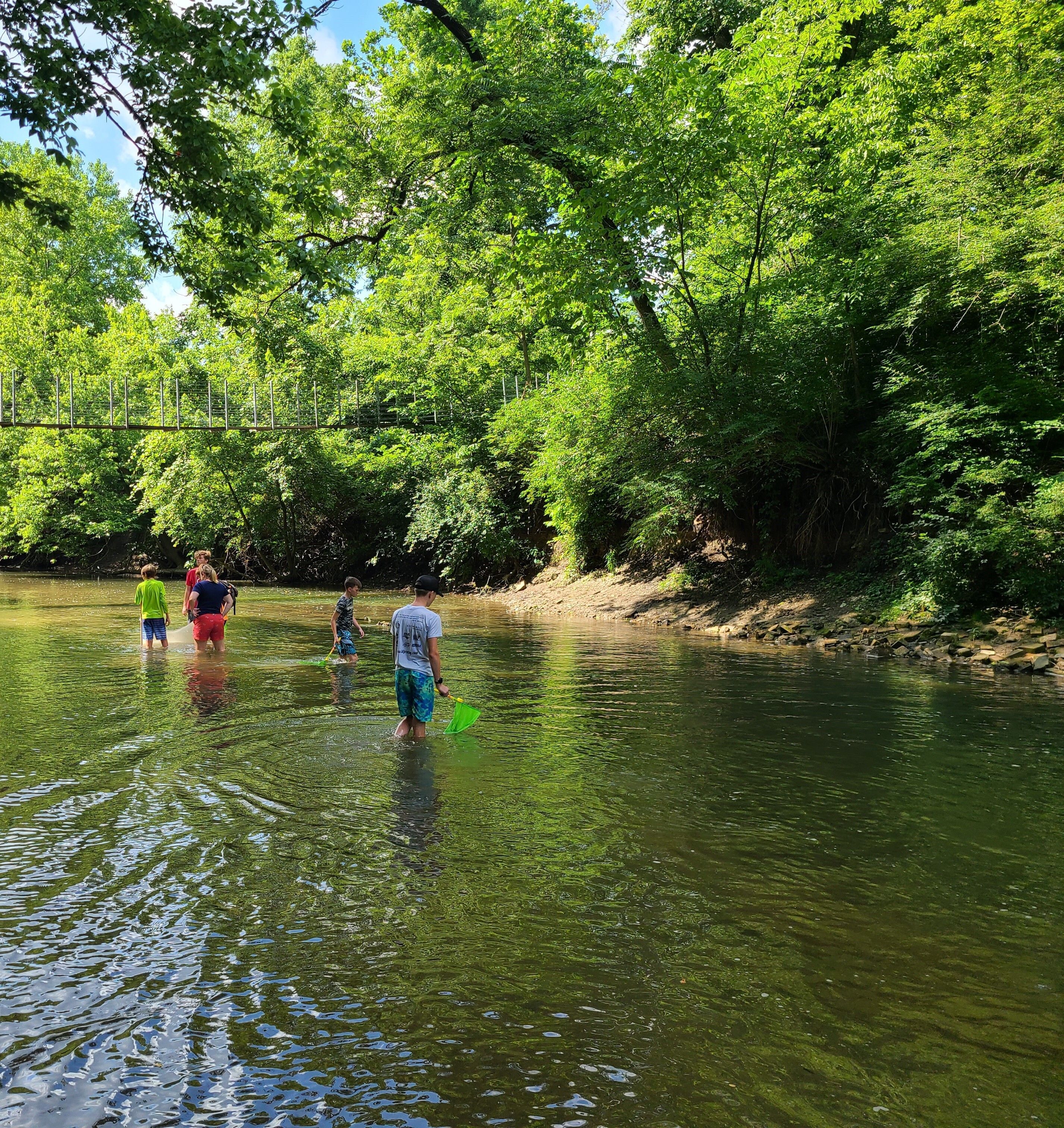
Our community-based programs are designed to further our mission and provide conservation leadership, education and technical assistance. Take a look.
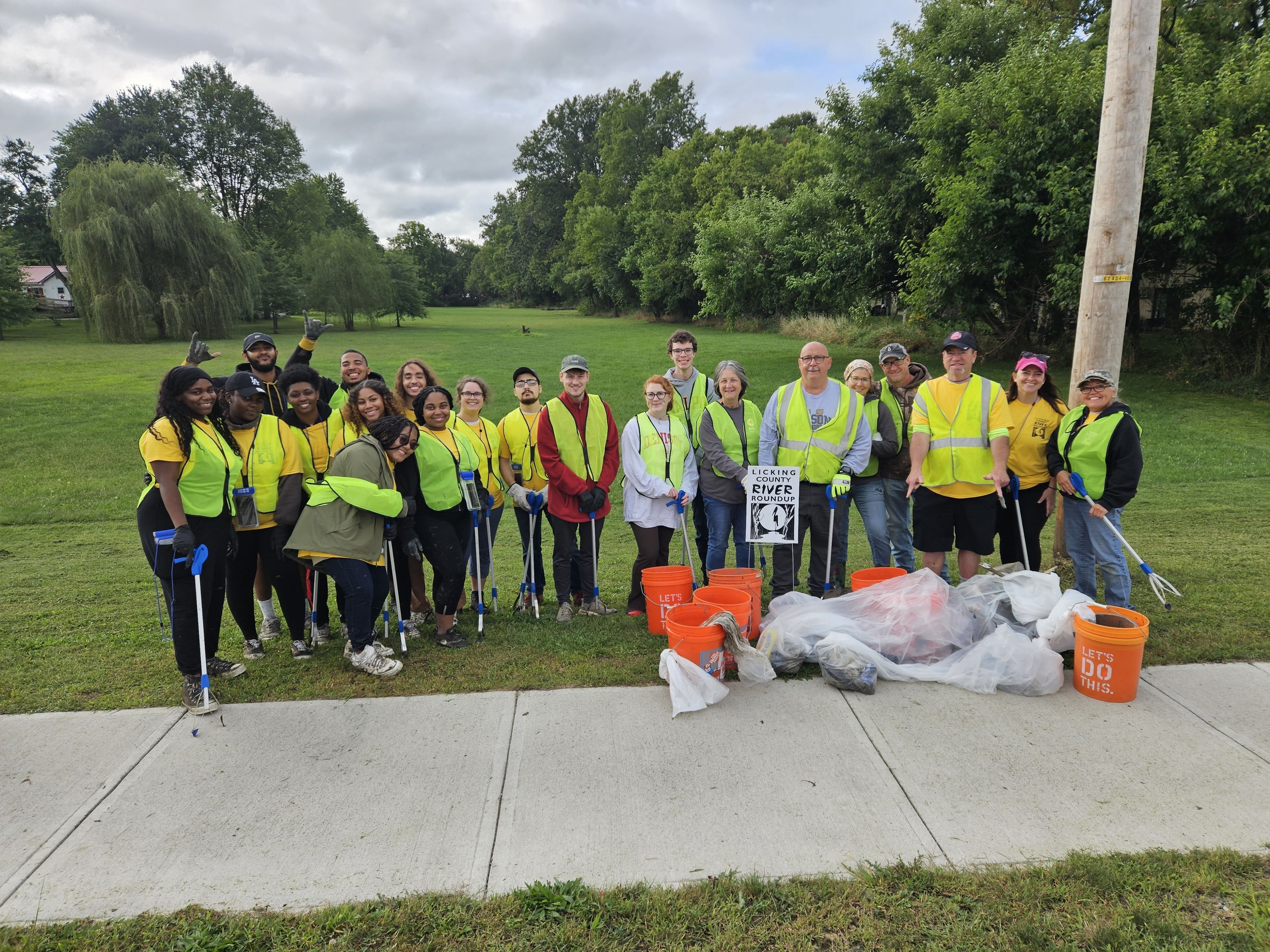
You’d be surprised at what a huge difference a little bit of your time can make. Read more.
| S | M | T | W | T | F | S |
|---|
| May 31 | Jun 1 | 2 | 3 | 4 | 5 | 6 |
|---|---|---|---|---|---|---|
|
11:00 am
@ Outdoor Adventures
|
||||||
| 7 | 8 | 9 | 10 | 11 | 12 | 13 |
|---|---|---|---|---|---|---|
|
4:00 pm
LCSWCD Monthly Board Meeting
|
5:30 pm
Stream Team Training @ Wildwood Park
|
@ Pataskala Outdoor Adventures
|
||||
| 14 | 15 | 16 | 17 | 18 | 19 | 20 |
|---|---|---|---|---|---|---|
|
6:00 pm
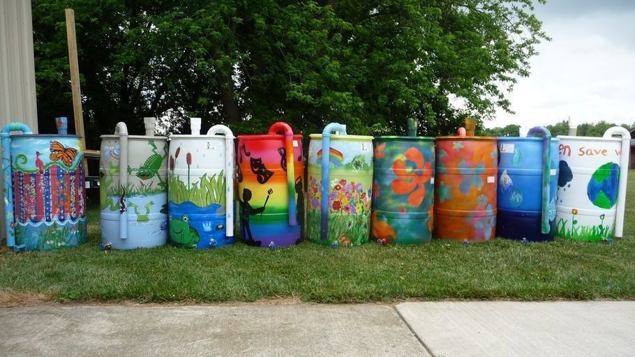
Rain Barrel Workshop - Infirmary Mound Park, Granville
|
||||||
| 21 | 22 | 23 | 24 | 25 | 26 | 27 |
|---|---|---|---|---|---|---|
|
National Pollinator Week
|
||||||
|
10:00 am
HFNRA Summer Kids Event
|
||||||
| 28 | 29 | Jun 30 | Jul 1 | 2 | 3 | 4 |
|---|---|---|---|---|---|---|
|
National Pollinator Week
|
||||||